 NCCOS is navigating the complexities of coastal development through Marine Spatial Planning! Join us on the journey to balance human activities and protect marine ecosystems. Explore the science behind our spatial suitability models: https://coastalscience.noaa.gov/science-areas/offshore-wind-energy/spatial-planning/
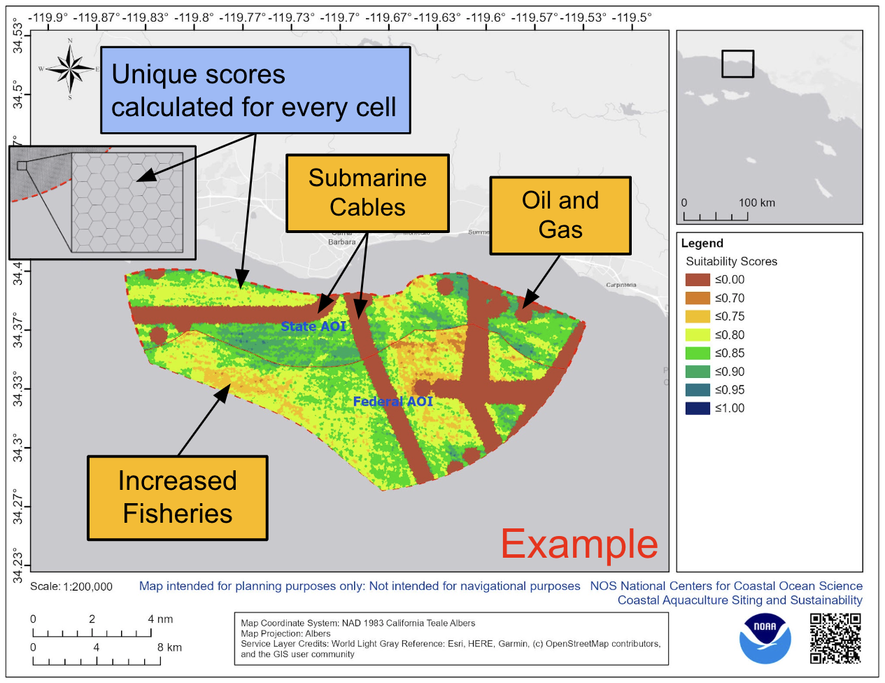
Navigating the complexities of coastal development through marine planning
- Published on:
- Science Area(s): Social Media