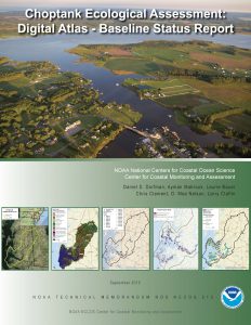
A new Digital Atlas for the Choptank River Complex Habitat Focus Area is now available. The Digital Atlas consists of a web-based mapping portal, a distributable geospatial database, and a Baseline Status Report. Each of these products is designed to support a greater understanding of the Choptank and Little Choptank River watersheds. Topics covered by each component includes: landcover, shoreline composition, water quality, benthic community condition, submerged aquatic vegetation, fish and oysters. The online mapping portal features 67 sets of geographic information which users are able to visualize, analyze and compare across and within the watershed. The Baseline Status Report provides a detailed report on the current status of these natural resources based on the information contained in the database.
NOAA has designated ten habitat focus areas (HFAs) under NOAA’s Habitat Blueprint. The HFAs are places where multiple NOAA Line Offices are able to effectively focus their resources to prioritize long-term habitat science and conservation efforts. The Choptank Complex is an important component of the larger Chesapeake Bay watershed. It is home to significant natural resources including oyster reefs, salt marshes, and spawning and juvenile fish habitats.
The NCCOS Cooperative Oxford Laboratory and CCMA Biogeography Branch have collaborated in the development of an Ecological Assessment of which the Digital Atlas is a part.
The mapping portal can be accessed here.
The Baseline Status Report is available here.
The distributable geospatial dataset is available upon request from Dan Dorfman ( dan.dorfman@noaa.gov ).
