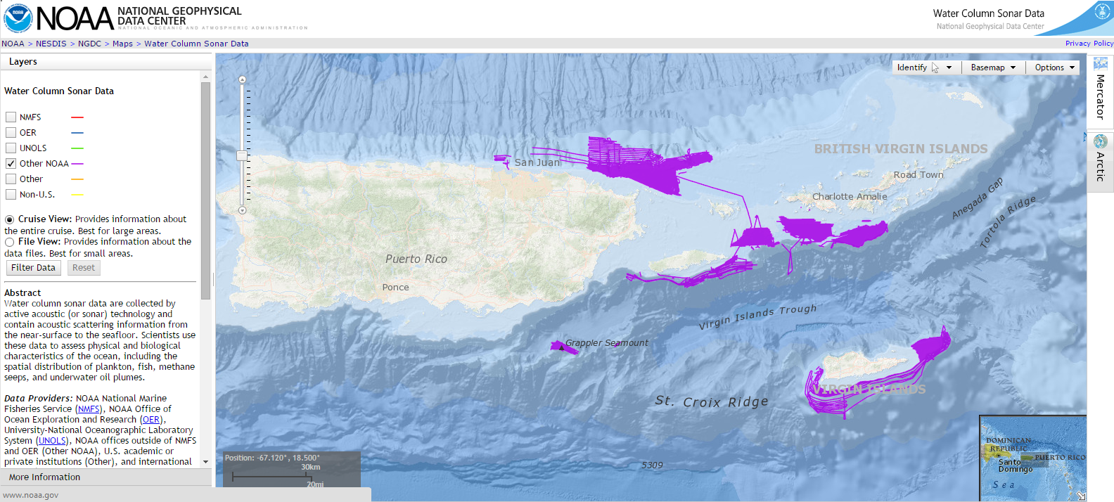
Seafloor maps that include fishery echosounder data from the NCCOS-led coral reef ecosystem characterization surveys of the US Caribbean (2010-2014) are now available to the public through the National Geophysical Data Center Water Column Sonar Viewer. The original objectives of the echosounder and sonar surveys were to map habitats of the seafloorand distribution of reef fish and other living marine resources in the US Caribbean to support marine reserve management, ecosystem management and ocean planning.

Echosounder data contains records of objects in the water column such as the distribution of fish, plankton and other marine organisms. Sonar data contains additional information about characteristics of the seafloor that may be useful to researchers and coastal managers such as the presence of gas seeps, detection of shipwrecks and cultural resources, or unique bottom features. The agreement between NCCOS and National Geophysical Data Center is part of a NOAA-wide effort to increase efficiency of archiving and access to scientific echosounder water column data and achieve the goal of expanding public access to research results for federally funded research.
For more information, contact Laura Kracker ( laura.kracker@noaa.gov ) or Chris Taylor ( chris.taylor@noaa.gov ).
