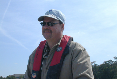
Greene is a member of the Coastal Resilience, Restoration, and Assessment Branch. His work focuses on determination of accurate coordinate and elevations for SET infrastructure and DEM analysis of marshes, shorelines and dredge sediments using high accuracy GNSS technologies and GIS programs. His work includes topographic, surveying, and leveling techniques.
Greene began his time at NOAA in the National Marine Fisheries Service working in larval fish recruitment on the South Atlantic Bight Recruitment Experiment. In this role he spent many days at sea, first as a science party hand and advancing to an experienced sampling operator using MOCNESS, including responsibilities as Field Party Chief. In 1999 he transitioned to NOS within the Fisheries Ecology Team leading fisheries field parties in Florida Bay while tending to cruise duties. In 2005 he transitioned to the Coastal Estuarine Ecology Team. He was tasked with applying high accuracy GPS mapping techniques for the team. He works with vendors and NGS in training, project development and application on CEE projects. CEE’s work includes the use of Sediment Elevation Tables in measuring sediment change in marsh environments. Mike uses NGS OPUS Projects to establish coordinate and vertical accuracy to SET marks and temporary water level stations and ArcGIS in development of Digital Elevation Models to analyze marsh and shoreline change in support of coastal resilience focusing on sediment reuse, natural and nature based infrastructure.
Greene received his Associate’s degree in Applied Science in Fisheries and Wildlife Management from Wayne Community College in 1993.

