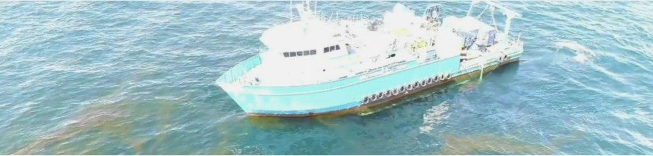
Remote Sensing and Signal Processing
Maps showing the depth, shape, and texture of seabeds or lakebeds provide the first indicators of the geological types and biological composition of benthic habitats. NCCOS adopts NOAA and international standards for seabed and lakebed mapping to produce the highest possible resolution maps to meet multiple user needs, including bathymetry and characterizing the shape and texture of the bottom. Multiple sensors and survey platforms are required to survey large areas. Integrating these different data sets can be challenging when the systems lack calibration to a common standard. NCCOS applies advanced signal processing, particularly in backscatter intensity, to standardize data sets into a comprehensive interpretation of the seabeds or lakebeds.
Mapping Seabeds and Lakebeds
Recent research by NCCOS has shown that backscatter collected at multiple acoustic frequencies (“multispectral backscatter”) can provide added insights in the characteristics of the benthic zone, especially soft sediment habitats. Multibeam and sidescan sonars can also be used to detect objects such as shipwrecks, artificial reefs, and marine debris like derelict fishing gear and traps.

Mapping Water Column
Acquiring water column sonar data simultaneously with seafloor mapping surveys allows for assessments of fish communities, their distributions, and the relative ecological value of bottom habitats. NCCOS uses water column sonars to detect and map the distribution of fish and fish schools to relate to seafloor habitat characteristics. The team also exploits water column sonar data from multibeam echosounders to extract measures of reef fish schools and spawning aggregations. The wide swath of the multibeam echosounder increases search volume and efficiency when searching for fish aggregations over very large reef areas.

Mapping Oil Plumes and Gas Seeps
Gas bubbles and plumes from subsurface oil can be detected from water column sonar backscatter. Similar to fish, signal processing of calibrated split-beam and multibeam echosounders allow for the estimation of the extent of subsurface oil and gas plumes as well as quantifying the flux of oil and gas through the water column. Gas bubbles can include methane seeps or other hydrocarbons where there is high contrast in the density of the gas and surrounding water.