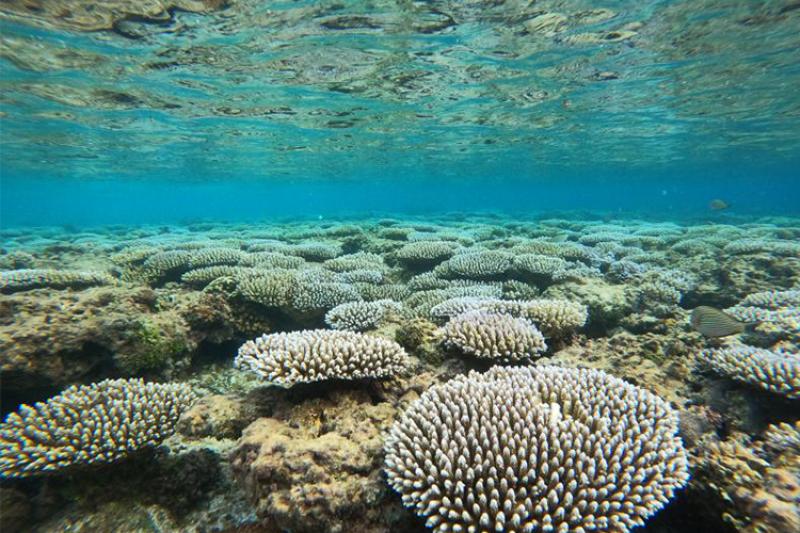
Credit: NOAA Fisheries/Jonathan Brown.
A new NOAA publication identifies areas around Guam and the Commonwealth of the Northern Mariana Islands (CNMI) most in need of seafloor mapping to support shallow-water coral reef management. NCCOS and NOAA’s Coral Reef Conservation Program (CRCP) collaborated on the report and the prioritization effort, which will help CRCP and their partners efficiently allocate limited mapping resources in the region.
Using an online Geographic Information System application developed by NCCOS, local experts and coral reef managers placed virtual coins in grid cells overlaid on nearshore waters less than 40 meters deep to show the locations of their mapping priorities. Also, they used pull-down menus to indicate specific mapping data needs and the rationale for their selections. NCCOS researchers then compiled and analyzed participant input to identify high-priority areas, along with their justifications and requirements.
The analysis identified four areas with the best potential to meet a variety of coral reef management goals: 1) Apra Harbor, Guam; 2) Liyo region, Rota; 3) Tinian Harbor, Tinian; and 4) Laolao Bay, Saipan. Filling data gaps in these areas will help support coral management actions related to port commerce, coastal development, increased tourism, and climate change.
