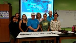
Under a grant from NOAA’s Coral Reef Conservation Program, NCCOS and NOAA’s National Environmental Satellite, Data, and Information Service (NESDIS) have been using remote sensing technology to monitor efforts to reduce land-based pollution runoff to the coral reefs of Guanica Bay, Puerto Rico. Leveraging experience gained on this project, the team recently met with partners from Hawaii and identified the west Maui watershed for similar work.
Students from the University of Hawaii Maui College will collect in situ ocean color data to calibrate the Visible Infrared Imaging Radiometer Suite (VIIRS), a satellite sensor NOAA uses for environmental monitoring and weather forecasting. VIIRS managers will use these in situ data to adjust algorithms that calculate chlorophyll-a and colored dissolved organic matter, which are both used to monitor land-based runoff.

To further improve VIIRS calibration with in situocean color data, the NOS/NESDIS team identified additional water masses off the island of Hawaii for “sea truthing.” The Natural Energy Laboratory of Hawaii Authority and the University of Hawaii at Hilo will assist with collection of these data on the west and east sides of Hawaii, respectively.
For more information, contact Robert Warner.
