Home > Explore News > NOAA, Partners Map Lakebed in Michigan's Thunder Bay National Marine Sanctuary

NOAA, Partners Map Lakebed in Michigan's Thunder Bay National Marine Sanctuary

Published on: 05/14/2019
Primary Contact(s): will.sautter@noaa.gov

The NOAA Great Lakes Environmental Research Lab's R/V Storm (right) pulls into Roger City Yacht Harbor, Michigan, alongside the Bathymetric Explorer and Navigator (far center; small yellow vehicle) after transiting across Thunder Bay National Marine Sanctuary. Credit: Ocean Exploration Trust.

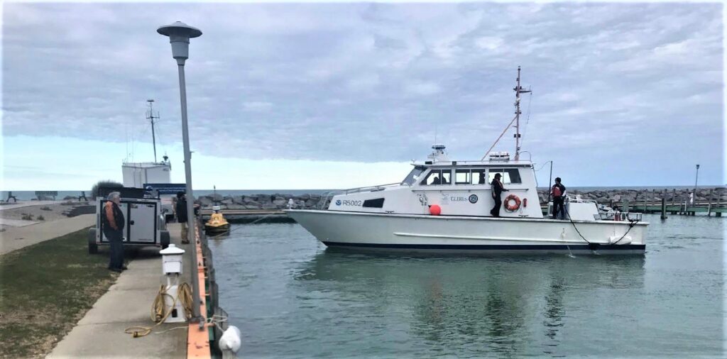
Earlier this month, NCCOS and its partners used an autonomous surface vehicle and shipboard sonar to collect lakebed data in NOAA's Thunder Bay National Marine Sanctuary in Michigan. Data from the mission will be used to update nautical charts, map habitats, and locate lost shipwrecks.

The autonomous surface vehicle used, called the Bathymetric Explorer and Navigator (BEN), has an array of radar, video cameras, laser range finders, and GPS for navigation. The team followed BEN in the NOAA Great Lakes Environmental Research Laboratory's R/V Storm for support and recovery in the event of drone malfunction. NCCOS staff will return to the sanctuary in July for additional sonar surveys.

Project partners include NCCOS, the NOAA Great Lakes Environmental Research Laboratory, the University of New Hampshire's Center for Coastal Ocean Mapping, the Ocean Exploration Trust, and NOAA's Thunder Bay National Marine Sanctuary.

Explore Similar News

About NCCOS

NCCOS delivers ecosystem science solutions for stewardship of the nation’s ocean and coastal resources to sustain thriving coastal communities and economies.

Stay Connected

Sign up for our quarterly newsletter or view our archives.

NCCOS Multimedia

Visit our new NCCOS Multimedia Gallery. 

Follow us on Social

Listen to our Podcast

Check out our new podcast "Coastal Conversations"