A new publication from NCCOS researchers and partners details innovative spatial planning methods for aquaculture siting. The study, focused on the Port of San Diego, addresses the pressing challenges arising from the rapid growth of ocean-based industries, including shipping, aquaculture, and wind energy.
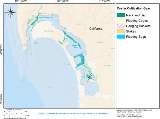
As ocean-based industries continue to expand, the need for careful marine spatial planning becomes important to reconcile existing ocean uses and manage environmental impacts effectively. This new paper demonstrates a series of geospatial analyses designed for aquaculture siting within and around the San Diego Bay, a highly trafficked port.
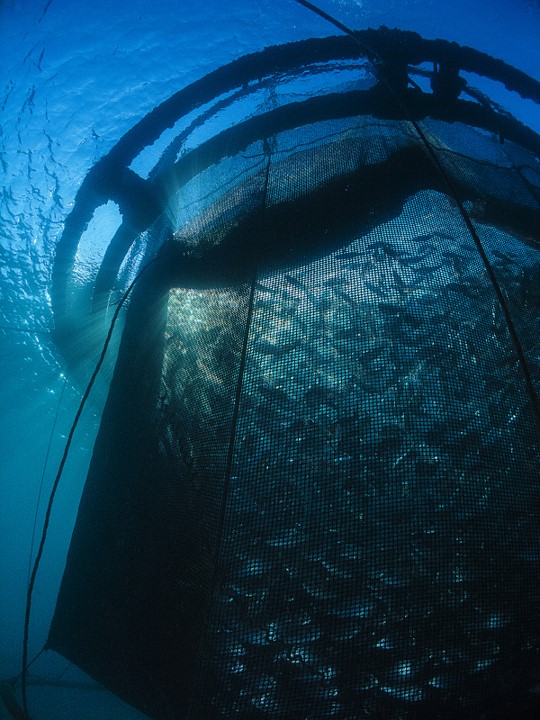
The research team, including scientists from NCCOS and the Port of San Diego, leveraged multiple datasets relevant to aquaculture spatial planning. Using exclusion analyses and a multi-criteria decision analysis approach, the researchers identified specific areas suitable for shellfish and algae aquaculture, considering environmental conditions and compatibility constraints.
The study builds on previous efforts by not only avoiding space-use conflicts but also by integrating a ‘culture systems analysis.’ This approach assesses where various culture systems, tailored to different aquaculture species, have the potential for success. This methodology provides a foundation for coastal intelligence, guiding aquaculture industry stakeholders and natural resource managers in making informed siting decisions.
San Diego Bay is a major port; this study demonstrates that even a bustling, busy port can accommodate aquaculture spatial planning approaches. The research underlines the importance of balancing economic development with environmental sustainability, emphasizing the role of marine spatial planning in achieving these objectives.
As the aquaculture industry continues to grow along the United States’ Pacific coastline, the study contributes insights that extend beyond conflict avoidance. By identifying areas with potential for successful aquaculture development, the research supports the growth of sustainable aquaculture and other Blue Economy industries.
This work showcases how marine spatial planning, when applied comprehensively, can serve as a powerful tool for informed decision-making in the development of ocean-based industries.