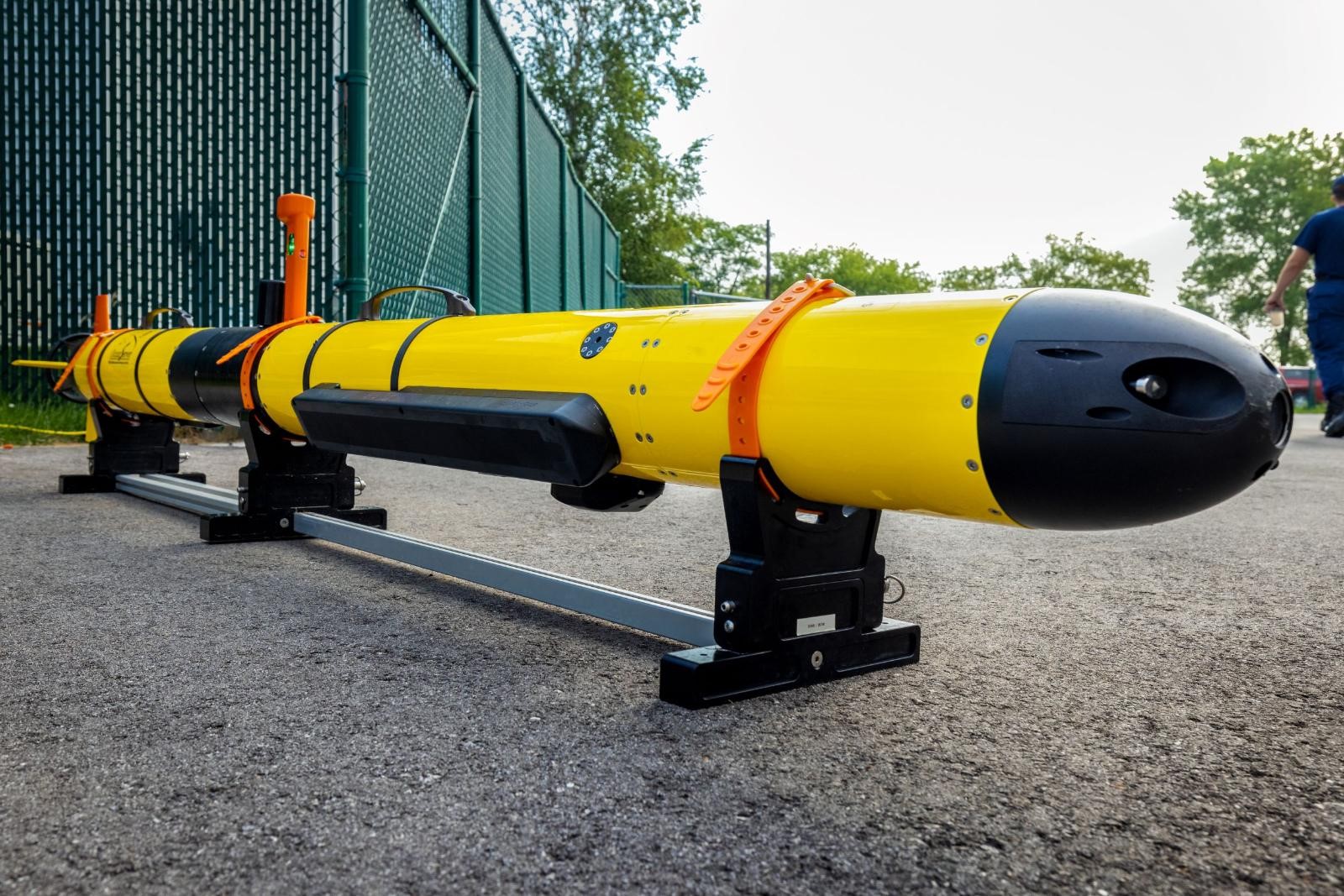
In the summer of 2021, NCCOS and partners tested autonomous and uncrewed survey technologies to explore underwater cultural heritage in Wisconsin Shipwreck Coast National Marine Sanctuary and the proposed Lake Ontario National Marine Sanctuary. NCCOS and NOAA’s Office of National Marine Sanctuaries developed a story map that shares results from the missions.
The Great Lakes provide a natural highway extending over a thousand miles into the heart of North America. Annually, over 70 million tons of cargo pass through Great Lakes waterways, supporting local, national, and international commerce.
This shipping network uses historic routes and ports established over two centuries. The largest collection of Great Lakes shipping and maritime heritage, however, is located not above water, but below. There are an estimated 6,000 shipwrecks across the five Great Lakes, tangible reminders of the men and women whose ingenuity, innovation, entrepreneurial spirit, and hard work helped build the nation. NOAA’s Office of National Marine Sanctuaries, in partnership with states, is a steward for many of these shipwrecks and related underwater cultural resources.
Modern, high-tech survey tools, like autonomous underwater vehicles, can enhance NOAA’s research capacity and accelerate maritime heritage site detection and characterization.
