NOAA’s Coral Reef Conservation Program uses seafloor mapping data to support a variety of coral reef management decisions. To efficiently allocate limited mapping resources, the program needs to prioritize which coral areas get mapped. To meet this need in Puerto Rico and the U.S. Virgin Islands (USVI), NCCOS developed a systematic, quantitative approach to gather seafloor mapping priorities from researchers and coral reef managers. A new publication highlights the methods and results of the mapping prioritization effort.
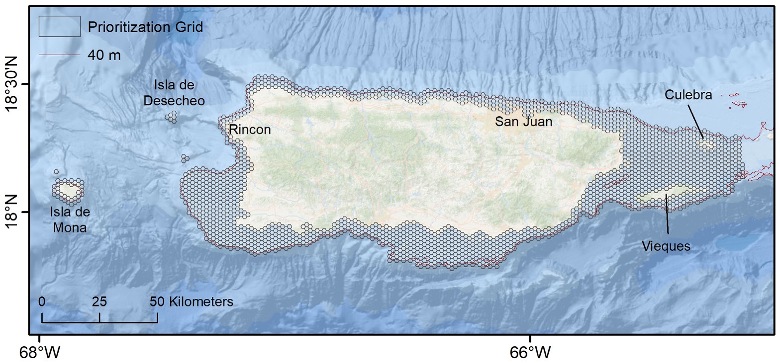
Using an online Geographic Information System (GIS) application developed by NCCOS, participants placed virtual coins into grid cells overlaid on the project area to express the location of their mapping priorities. Also, they used pull-down menus to indicate specific mapping data needs and the rationale for their selections.
NCCOS researchers then compiled and analyzed participant input to identify high-priority areas, along with their justifications and requirements. Participants included a range of partners, such as fishery management councils; federal, state, territorial, and municipal government agencies; nongovernmental organizations; and academia.
Four focal areas were identified in Puerto Rico: 1) Arecibo, 2) Ensenada and Guánica, 3) Humacao, and 4) northwest Sonda de Vieques. In the USVI, three focal areas were identified: 1) shelf off northwest of Saint Thomas (Cockroach Island and Dutchcap Pass), 2) northwest St. Croix, and 3) east St. Croix. Participants had various reasons for choosing these areas, such as filling data gaps to support coral restoration efforts, and updating existing data to help manage watersheds along a rapidly developing coastline. Overlapping participant interests highlight some of the best opportunities for collaboration, with the potential to satisfy a variety of coral management goals.
In addition to the report, summary results and an inventory of existing mapping data for Puerto Rico, USVI, and other completed jurisdictions are available here.