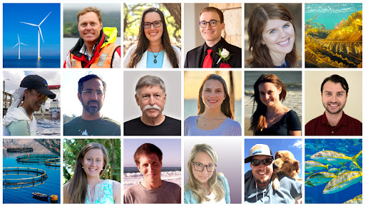
NCCOS coastal and marine spatial planning efforts include development of regional ecosystem-wide spatial models to inform siting of ocean use sectors, environmental review, and permitting. These efforts include NCCOS team members from around the U.S. including the East Coast, West Coast, Gulf of Mexico, and the Great Lakes regions. Recent new team member additions have significantly increased the capacity and capabilities of the Marine Spatial Ecology (MSE) Division’s spatial planning and modeling efforts in support of offshore wind. MSE currently works in the Gulf of Mexico, Central Atlantic, Oregon/U.S. Northwest, and Maine/U.S. Northeast. With these additional team members, the MSE Division’s efforts will expand to include the U.S. Southeast/U.S. Caribbean, U.S. Southwest, and Hawaii/Pacific Islands & Territories.
The team works to:
- Populate a regional geodatabase (collect data)
- Identify Wind Call Areas
- Identify Wind Energy Areas
- Develop lease area siting models
- Cable routing spatial planning
Sustainable coastal planning and development increases resiliency, creates jobs, reduces reliance on unsustainable imports, supports renewable energy, and grows the domestic Blue Economy. Please explore the updated NCCOS Coastal & Marine Planning and Offshore Wind Energy Spatial Planning webpages to learn more.
