UPDATE: February 24, 2021
The Living Shipwrecks 3D Website has been accepted to the 2021 Esri Federal GIS Conference Map Gallery. Voting for the People’s Choice Award is open now and will close on Friday, February 26 at 5 PM (PDT). Log into your Esri account to vote for or add comments to this tool!
______________________________________________________________
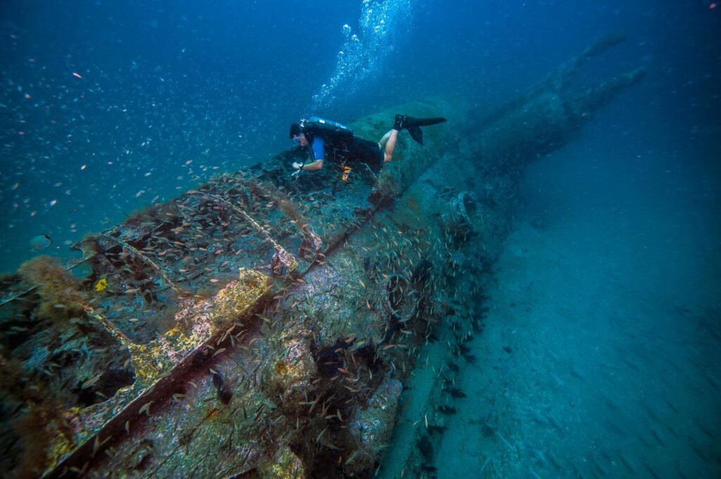
Scores of ships from the Civil War, World War I, and World War II eras rest on the North Carolina seafloor. These shipwrecks are a gateway into our nation’s rich maritime history, and serve as home to a diversity of marine life. NCCOS and the Monitor National Marine Sanctuary have collaborated over the years to simultaneously study the ecology and archaeology of the wrecks.
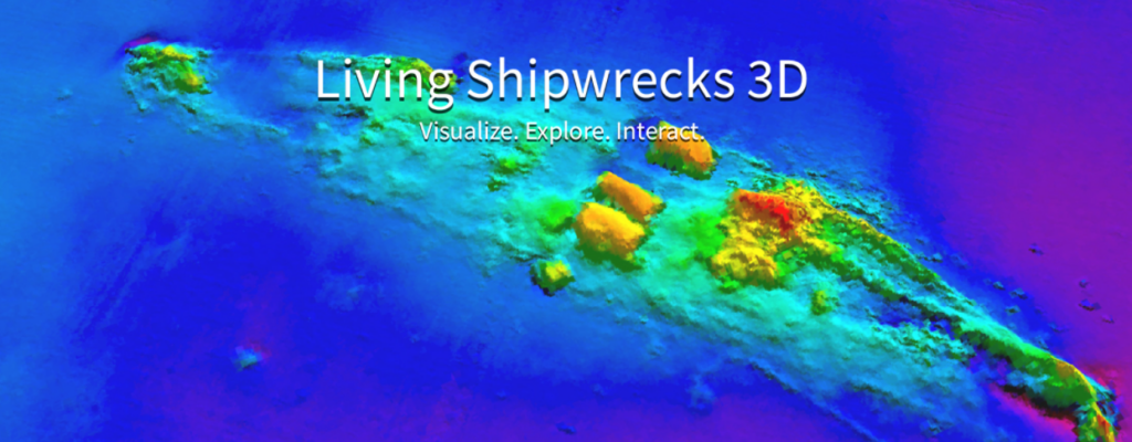
In honor of the 75th anniversary of the ceremonial end of World War II, NCCOS developed an interactive tool that allows users to virtually explore Civil War, WWI, and WWII shipwrecks and associated marine life off North Carolina. The Living Shipwrecks 3D website serves as an underwater museum, an educational tool, and a memorial to a generation of mariners who rose to the country’s defense when war erupted on our shores.

The interactive tool brings North Carolina’s underwater battlefield to your fingertips, allowing users to explore data collected during NOAA missions in and around Monitor National Marine Sanctuary, and learn more about the science behind how NOAA maps shipwrecks and fish. Users can browse historic wrecks to learn more about their unique depths and locations, view underwater photographs, and use the data viewer to explore 3D maps of shipwrecks and associated fish communities.
Living Shipwrecks 3D contains data collected during a four-year project to simultaneously study the ecology and archaeology of shipwrecks off North Carolina. This partnership and collaborative research not only honors the sacrifices of our Allied seamen and the heroism of the U.S. Merchant Marine, but also recognizes the role these shipwrecks play today in the region’s health as habitat for vibrant and thriving marine ecosystems. To learn more, visit the project page.

