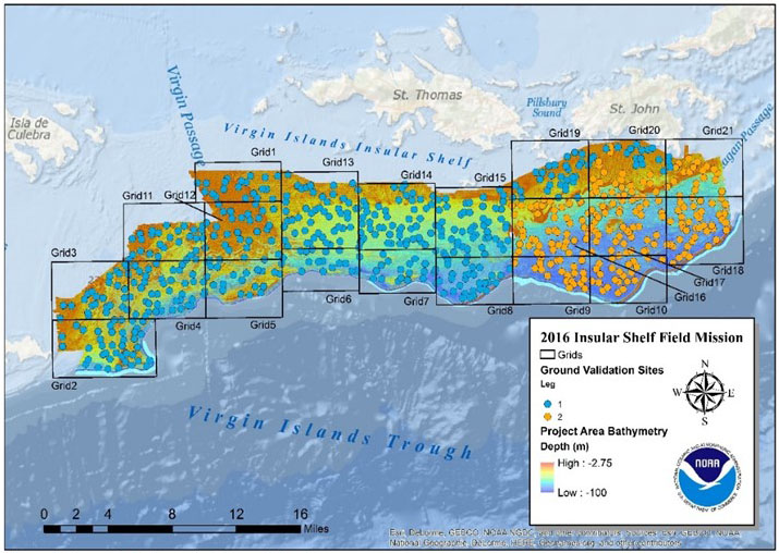
This past summer NCCOS scientists collected underwater photos and videos from mesophotic ocean depths (30 -100 meters) between Vieques Island and St. John in the U.S. Caribbean. The data will support the development of a new benthic habitat map that will depict the distribution of mesophotic coral reef ecosystems on the insular shelf.
The new habitat map will provide baseline information to help guide the monitoring and management of important mesophotic coral reef ecosystems, fish spawning aggregation sites, and marine protected areas in the region. Data from the project will also support ongoing efforts in the U.S. Virgin Islands, including: sampling for the National Coral Reef Monitoring Program, placement of an acoustic array for the NOAA Marine Fisheries Initiative project, and sampling for mesophotic reef research conducted by the University of the Virgin Islands.
The project was funded by NOAA’s Coral Reef Conservation Program and is being conducted in collaboration with several partners, including: the University of the Virgin Islands, the U.S. Virgin Islands Department of Planning and Natural Resources, and the National Park Service.
For more information, contact Tim.Battista@noaa.gov or Bryan.Costa@noaa.gov.