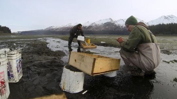
The Kachemak Bay GeoHUB is a curated list of environmental research and monitoring projects, both completed and ongoing, in Kachemak Bay, Alaska. The GeoHUB is one of the resulting products from NCCOS’s Kachemak Bay Ecological Assessment and serves as a reference tool for managers, researchers, students, and anyone interested in Kachemak Bay data. GeoHUB resources will be updated periodically and are organized by three categories: online spatial data viewers and GIS data, reports and publications, and program and organization websites.
Kachemak Bay, a state-designated critical habitat area, National Estuarine Research Reserve, NOAA Habitat Focus Area, and the site of the NCCOS Kasitsna Bay Laboratory, is a productive marine ecosystem facing environmental challenges. The goal of the ongoing ecological assessment is to identify and summarize ecosystem changes over the past two decades — with a focus on climate change, harmful algal blooms, shellfish, marine mammals, and ocean acidification — and develop information tools from research and monitoring results to inform coastal managers in the region. The bay also provides a model for what might be done in other coastal areas of Alaska.
