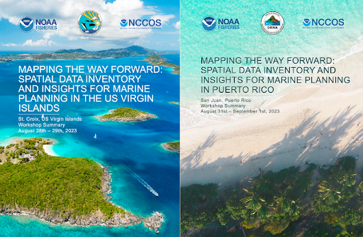
The National Oceanic and Atmospheric Administration (NOAA) National Centers for Coastal Ocean Science (NCCOS) and the NOAA National Marine Fisheries Service (NMFS) Southeast Fisheries Science Center (SEFSC) organized two multi-day marine spatial planning workshops in the U.S. Caribbean region. These workshops aimed to enhance spatial planning capacity in the region and to support the development of the blue economy, including renewable energy and aquaculture.
The workshops had several key goals:
- Learn about NOAA’s marine spatial planning approaches and activities.
- Inventory available spatial data for the USVI and Puerto Rico.
- Document data shortcomings and gaps.
- Increase local capacity and resources for regional ocean spatial planning.
- Foster a community of stakeholders to inform future marine planning efforts.
Both workshops saw participation from local agency leaders, planners, environmental organizations, scientists, subject matter experts, and federal representatives from NOAA (NCCOS, NMFS SEFSC), the Department of Defense (DOD), and the Bureau of Ocean Energy Management (BOEM). The collaborative effort sought to improve coordination on marine spatial data between the federal government and its territorial partners and stakeholders. Notably, the discussions were framed around six key ocean sectors: National Security, Industries, Fisheries, Natural Resources, Cultural and Social Resources, and Metocean and Other.
In the “National Security” sector participants raised concerns about the accessibility and resolution of national security data. These included issues related to shipping routes, access to classified information, and the cleanup status of formerly used military areas.
The “Industry” discussions highlighted the need for data on cable routes and updating various layers, such as aids to navigation, fish aggregation devices, and submarine cable locations. Participants noted the need to develop and enhance tourism-related data sources, given the importance of the industry to the region.
The “Fisheries” sector discussions centered on challenges associated with data gaps in both commercial and recreational fishing. There was a strong emphasis on the necessity of trust-building with fishers and participatory mapping.
The “Natural Resources” sector addressed critical habitat, endangered species, and protected areas, with a focus on updating habitat data and the need for additional data on protected species, including sea turtles, marine mammals, and seabirds. Concerns were also expressed about pollution’s impact on the coastal environment.
The “Cultural and Social Resources” sector explored the cultural uses of the marine environment, emphasizing the importance of traditional areas, and cultural sites. Social vulnerability data concerns were integral parts of the discussions.
In the “Metocean and Other” sector participants discussed the need for higher resolution of oceanographic data and the importance of centralizing publicly available data. The sector emphasized the importance of understanding ocean currents, underwater noise, and sediment movement.
Key takeaways from the workshops included the identified need for a central repository of publicly available data in the U.S. Caribbean, the development of geospatial data layers, and the importance of conducting social science surveys to gather valuable information for future planning. Participants expressed the desire for more data, as well as improved resolution of existing and future data, to inform decision-making. The emphasis on involving local stakeholders early and consistently to improve planning efforts, and the focus on equity and environmental justice in data collection and planning were notable themes.
Overall, the workshops, which were held in August in St. Croix and San Juan, represent a meaningful stride in fostering collaboration and promoting data-driven decision-making for the sustainable development of ocean resources in the U.S. Caribbean. Two significant technical memorandum were produced as a result of the workshops: the Puerto Rico report can be downloaded in English and Spanish at this link, and the U.S. Virgin Islands report can be downloaded at this link.
