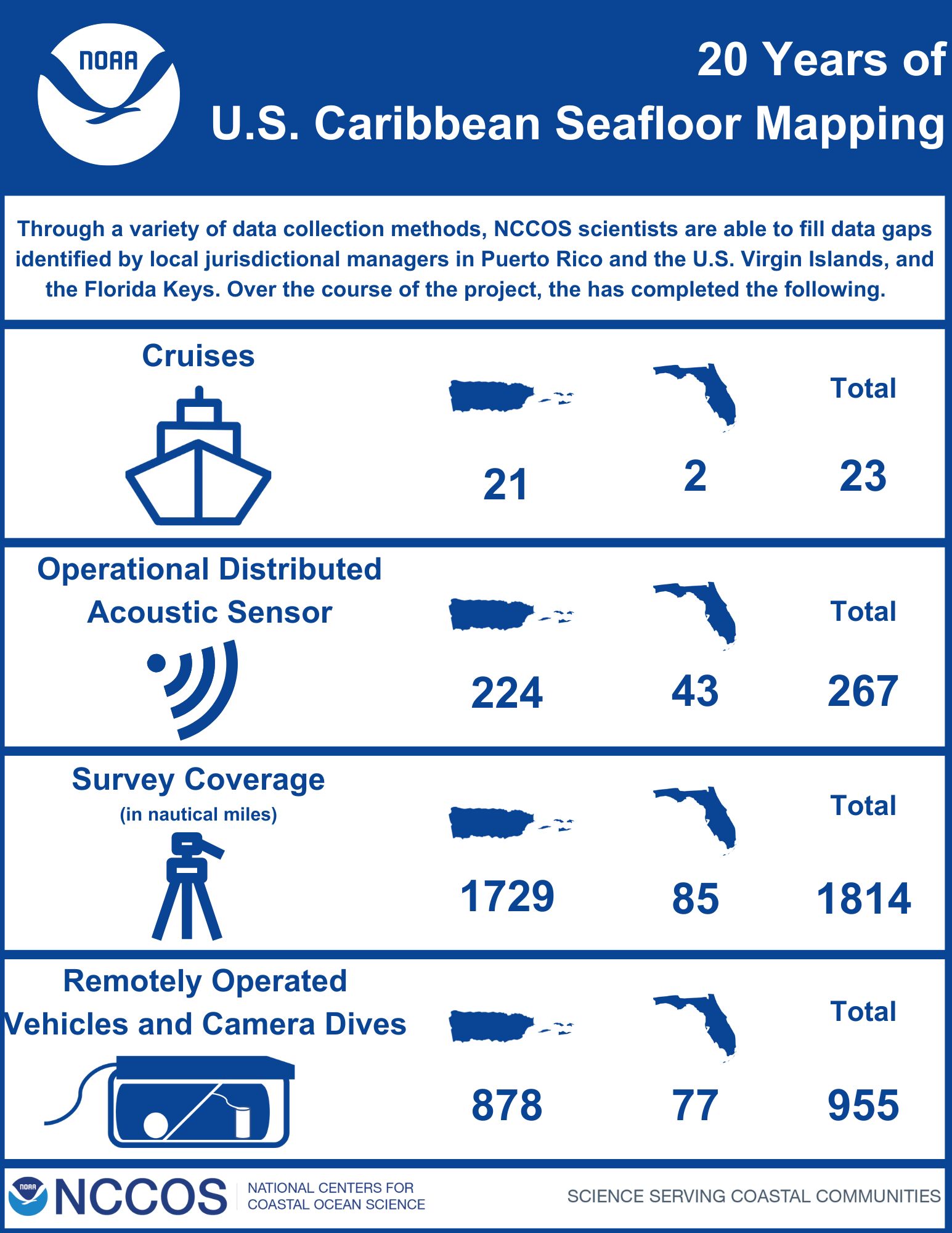
Since 2004, NCCOS has conducted seafloor mapping of the U.S. Caribbean to fill critical information gaps that are needed to support conservation and management of diverse coral habitats, targeting high priority sites identified by local and regional managers. Local partners provided input throughout this project to identify priority areas for the team to conduct mapping, sampling, and visual surveys to help fill the data gaps.
Through these missions, scientists have collected critical information about depth, topography, and composition of the seafloor as well as valuable information about the coral reef ecosystems and fish populations in the U.S. Caribbean.
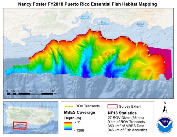
To collect this information, scientists used acoustic multibeam sensors, fish acoustic sensors, oceanographic sensors, light detection and ranging (LiDAR), and remotely operated vehicles (ROVs) to map and characterize the size and shape of physical habitats. The team used these datasets to create high-resolution seafloor maps, significantly increasing the level of detail needed to interpret and identify sensitive habitats and explain fish distribution patterns.
The team developed the U.S. Caribbean Acoustic Web Map to capture the Caribbean fishery acoustic data for the Northeast Puerto Rico, Southeast Insular Shelf, and St. Croix, USVI study areas. The data was collected throughout the duration of the project. Through this online mapping application, local managers can easily access fish density data overlaid on bathymetric data to identify fish abundance and hotspots.
This information will help local jurisdictional managers better understand these invaluable resources and address issues related to overfishing, recreational and commercial fisheries, restoration, land-based sources of pollution, permitting activities, Marine Protected Area identification, place-based management, coastal intelligence, safe maritime navigation, coastal inundation modeling, marine spatial planning, and other scientific research.
Dive a little deeper into the work and outputs from this project.
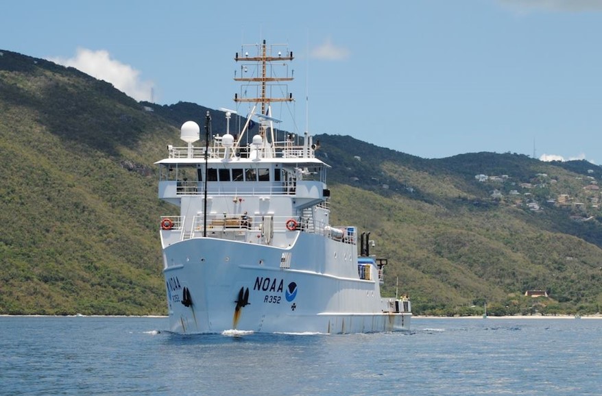
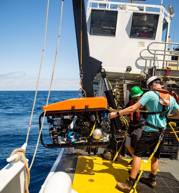
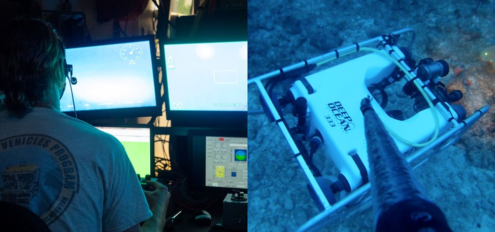
NOAA’s Coral Reef Conservation Program supported some missions throughout this project.
Learn more about this project.
