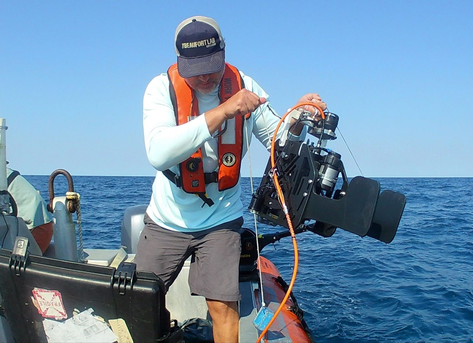
 Today is World Hydrography Day! Hydrography is the science of mapping and measuring the physical features and movements of oceans, seas, rivers, and lakes. NCCOS scientists just got back from a hydrography-focused cruise aboard the R/V Nancy Foster in which they were using remote sensing technologies and ground truthing methods, like this drop camera, to learn more about the seafloor around Carolina Long Bay. Learn more about our habitat mapping work: https://coastalscience.noaa.gov/science-areas/habitat-mapping-and-characterization/
It’s World Hydrography Day!
- Published on:
- Science Area(s): Social Media