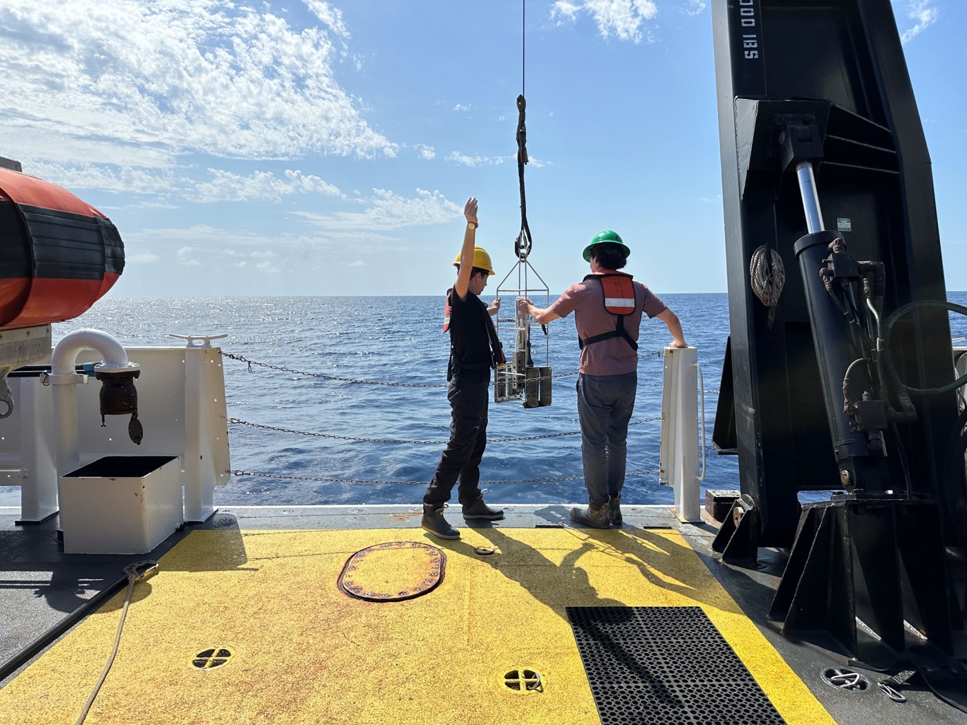
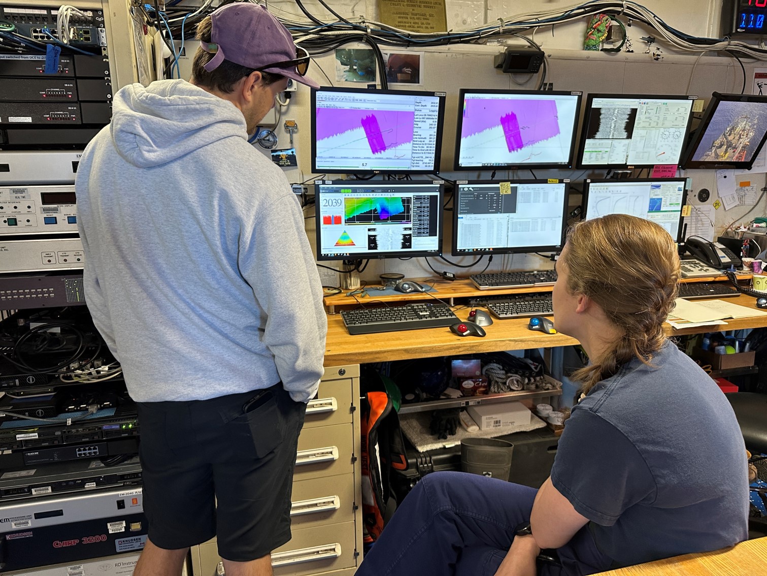
 NCCOS scientists are currently at sea conducting habitat mapping in the Gulf of Mexico using multibeam sonar. This data will allow our scientists to create accurate maps of the seafloor that will inform a number of projects focused on restoring the impacts of the Deepwater Horizon oil spill. Learn more: https://coastalscience.noaa.gov/science-areas/restoration/gulf-mdbc-restoration/