The U.S. Government is closed. This site will not be updated; however NOAA websites and social media channels necessary to protect lives and property will be maintained. To learn more, visit www.commerce.gov. For the latest forecast and critical weather information, visit www.weather.gov

The U.S. government is closed. This site will not be updated; however, NOAA websites and social media channels necessary to protect lives and property will be maintained. To learn more, visit commerce.gov

For the latest forecasts and critical weather information, visit weather.gov.

Tred Avon River Coastal Ecological Assessment: A Story of Land Use (Story Map)

Aerial view of Oxford, Maryland. Credit: G. Messick. Story Map on Tred Avon River Coastal Ecological Assessment.

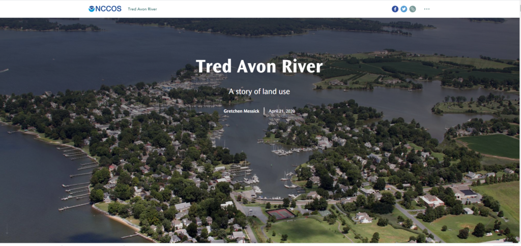
The Tred Avon River Story Map highlights the results of an ecosystem assessment conducted by NCCOS to determine how different land uses have affected the Tred Avon River. The Tred Avon is an important tributary of Maryland’s Choptank River complex, which NOAA designated a Habitat Focus Area in 2014. The Story Map and the assessment will help coastal managers better understand the effects of land use on the adjacent estuary and develop management strategies to protect the health of the aquatic ecosystem.